|
| *****SWAAG_ID***** | 60 |
| Date Entered | 11/01/2011 |
| Updated on | 16/12/2011 |
| Recorded by | Tim Laurie |
| Category | Burnt Mound |
| Record Type | Archaeology |
| Site Access | Public Access Land |
| Record Date | 01/01/2005 |
| Location | BURTON CUM WALDEN C.P. Burton Moor |
| Civil Parish | Burton cum Walden |
| Brit. National Grid | SE 0335 8630 |
| Altitude | 460m |
| Record Name | Two burnt mounds less than 300m west of the large aggregated round house settlement on Burton Moor |
| Record Description | 2 Sites: 1st = Small, low*. in marsh 200m North East of the Burton Moor Settlement.
2nd = Large, medium. Difficult to find, turf covered. This large burnt mound site is 250m North East of the undated prehistoric unenclosed round house settlement on West Burton Moor.
* Indicative dimensions:
Size: Small <6m, Medium 6m-9m, Large 10m-15m, Extra large >15m.
Height: Low <0.5m, Average 0.5-1.0m, High >1.0m.
Further good site photographs required. |
| Dimensions | See indicative dimensions above. |
| Additional Notes | Burnt mounds which, on the balance of the evidence available from the very numerous excated sites, can be regarded as sweat house /saunas and as such should be regarded as recognisable, visible indicators of the presence of transient, seasonal settlements which have left no other surface trace of their existence.
|
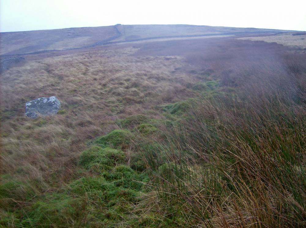
| Image 1 ID | 330 Click image to enlarge |
| Image 1 Description | Large burnt mound 250m North East of the Burton Moor Settlement | 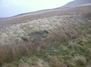 |
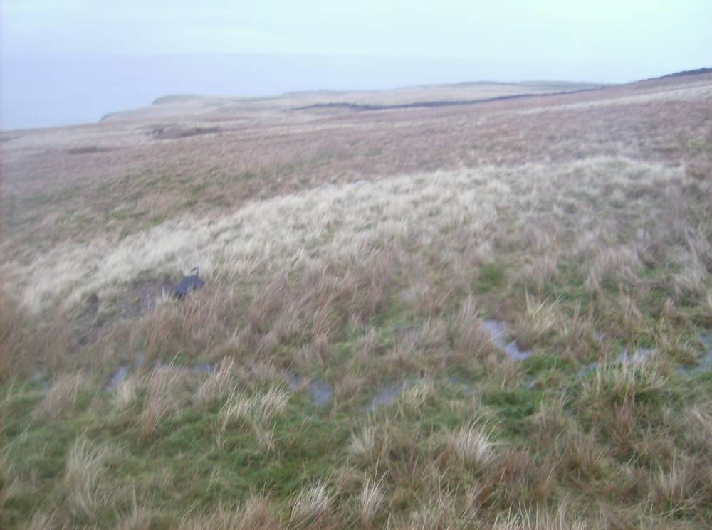
| Image 2 ID | 331 Click image to enlarge |
| Image 2 Description | Large burnt mound 250m North East of the Burton Moor Settlement view eastward. | 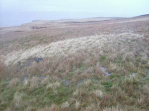 |
| Image 3 ID | 332 Click image to enlarge |
| Image 3 Description | Very small burnt mound barely visible . 200m NE of settlement. | 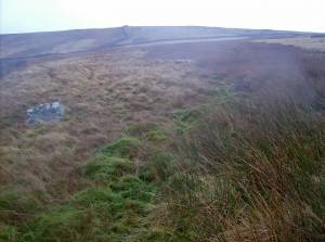 |